Spatial Information or Spatial Data are terms that people find hard to decipher. However, with the advent of Google maps and similar open-source applications, more people are trying to imbibe this technology. For the past few years, there has been enormous updation in the technology related to Spatial science and analytics. Many applications have been utilizing this technology and have made major breakthroughs in different areas.
Let’s delve into this trending and interesting technology called GIS
Let’s start with what GIS is
GIS or Geographical Information System comprises spatial data and information regarding the location of the data. It is the science behind the mapping of utilities, environmentally affected locations, terrain, buildings, etc. As an emerging technology itself, the field of geographic information systems is constantly evolving. Over a decade, members of the geographic information community have seen this technology change from software to tools that can now be used in mobiles and personal laptops.
What are the Softwares and Techniques used for GIS?
There are many softwares that uses GIS like Arcmap, Arcmap Pro, Erdas, etc.
Arcmap is the main component of ESRI’s ArcGIS and is a platform used to visualize, edit and analyze the spatial information obtained from real world. This software is commonly used for township development as it focuses more on latitudes, longitudes and boundary values.
Erdas Imagine is another platform that is used to analyze spatial data. Here the data is obtained from different satellites and the software extracts information from those images using pixel classification techniques.
How we integrate data into Software?
The different layers can be integrated in the form of a sandwich model. It helps in analyzing the data more precisely. All the points, lines and polygon files can be viewed more clearly by this method.
A sample way of integrating maps is illustrated below.
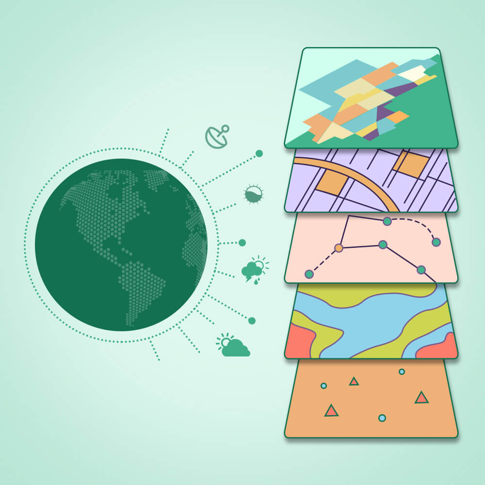
The above technology is used to identify the hospitals and police stations of a local street. Here overlay method is used to integrate the data and a final output is obtained which clearly serves the objective. This is a very simple technology used in GIS.
How ArcMap is better than Google earth
Google earth is merely a 3D representation of earth which is obtained after taking the inputs from satellite imagery. As we all know, it is available everywhere. It can be easily downloaded on your smartphone/tablet.
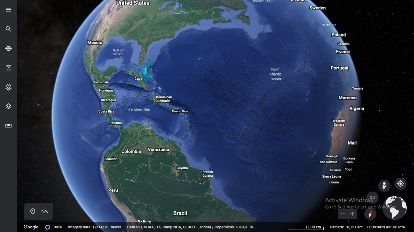
Google Earth is a much-simplified version of ArcMap and the functionalities are very limited. It is mainly used for measuring distances, find directions, and extract imagery. The functionality is nowhere near to the advanced and fast-paced functionalities of ArcMap.
The areas where Arcmap holds an upper hand compared to Google Earth are
- Arc toolbox
- Database Management
To explain, Arctoolbox contains a set of tools used to analyze spatial data and is the key to exploring real-world applications. Database like MySQL is used to store the data.
Analytical Thinking:
Examples of GIS Applications
Some key areas which benefited the most from GIS are:
- Telecom And Network Service
Many organizations utilize GIS in decision making and maintenance activities. Telecom tower locations can be mapped onto a given area and the mobile coverage data can be integrated along with it to plot the range variation, inspiring network technology of different areas in a country. - Accident Analysis and Hot Spot Analysis
Many traffic authorities have been using GIS technology as a management system for the visualization of accident data and analysis of hotspots. - Natural Hazard Management
GIS is an integral part of the Natural hazard management cycle. It helps in visualizing the most vulnerable areas to be hit or already hit by natural disasters. Many hotspots can be recognized using GIS. This technology was widely used in emergency responders to nullify the damage caused. GIS played a crucial role in determining the areas affected by the recent amazon forest fire and in minimizing the impact of drastic floods in India.
GIS has played a major in the analysis and management of floods in remote areas. The areas can be outlined, digitized and analyzed real-time. Overall, GIS is a field which has gone from leaps and bounds to emerge as a brilliant career option and marking an immense contributor to the public sector.
Our experience with GIS
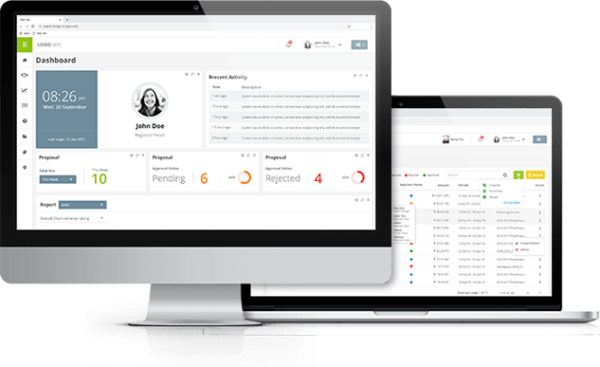
Various web-based applications utilize this technology and it helps in updating the information at the current time. Here is an example where we have implemented GIS for a real-estate company.
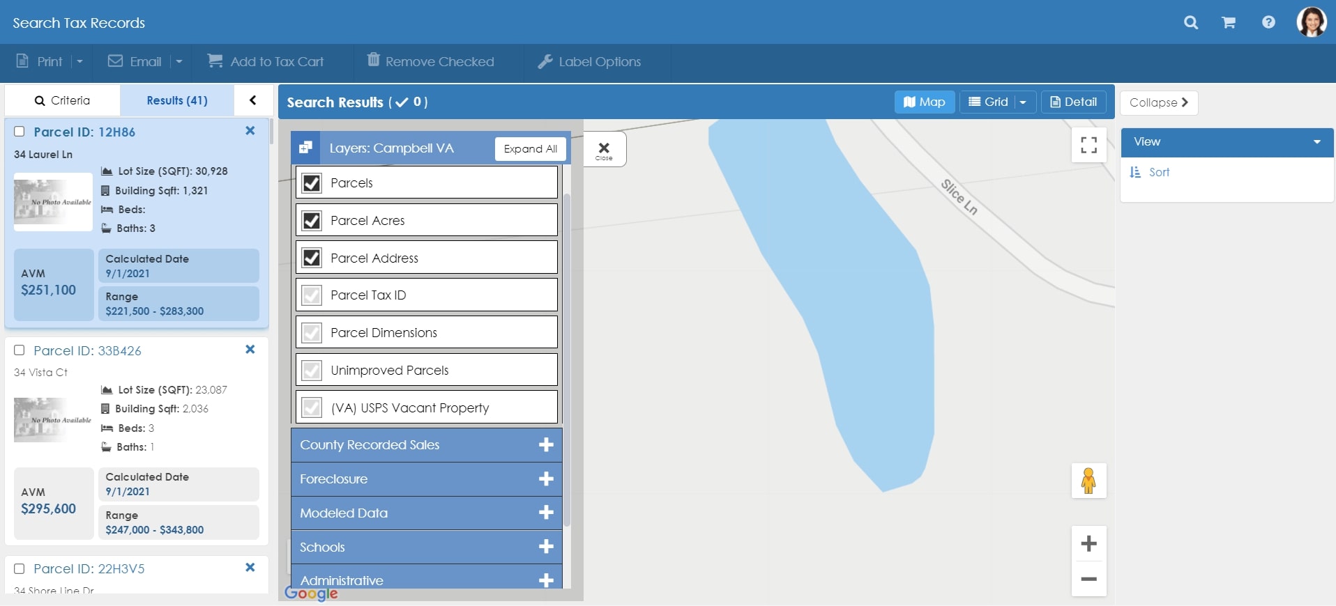
Here different details like Parcel ID, Hazards, etc. can be updated in real-time in the above application. It is a perfect example of the application of web GIS.
Key Operations
GIS operates on many levels. GIS is powerful when attribute and spatial data are used wisely. The output would be much more prioritized and specific to the objective. Statistical methods can also be used to analyze the results obtained. Some examples of the types of questions that GIS is used are:
- The number of schools within a buffer zone
- Using the line-of-sight analysis as mentioned above for cellular network identification
- Different types of vegetation using NDVI index
- Using street network for neighbourhood analysis
- Areas of high crime using hotspot analysis
Main operations of GIS focuses on:
- Mapping
Crime management, surveys and emergency departments use digitization techniques to map counties and survey data. - Modelling
Traffic Management and Infrastructure create different 3D models using the capability of GIS to analyze the data with clarity. - Measurement
Geographical phenomena like climate, meteorology and hydrology utilize GIS to measure atmospheric pressure, rainfall and atmospheric variations on a daily basis. - Monitoring
Forest and land resources use this technology to find damaged areas and understand the boundaries of different countries.
Here are some facts about ArcGIS that makes it stand out
Arc Scene is an inbuilt extension used in ArcGIS to visualize the map in a 3D model. It gives a closer view of the data after the analysis is done. The elevation and depth models can be well analyzed using this technology in ArcGIS.
One can fly through the model using the in-fly option in Arc Scene where a closer view of the model could be visualized.
Furthermore, the maps and models could be exported to any file formats and printed out for documentation purposes.
Recent Developments
The governing authorities from different countries have given the green light to support GIS technology for better growth. Many countries like India have come up with new mapping policies where the maps can be accessed through online portals and are made free for everyone to access.
What Next?
To recapitulate, GIS is the way forward to global challenges. But to reap the most benefits, the technology has to reach the grass-root level. Many educational institutions have already included GIS technology as a mainstream subject in the curriculum. Moreover, many IT firms all over the world have conducted workshops to educate the masses about the relevance of Spatial Technology.
Cartography and Mapmaking have navigated us from time immemorial, allowing us to explore and navigate our way through seas and land and explore the world. It has evolved from cave paintings to ancient paper maps and digital maps of modern day to GPS and now GIS. Let’s hope the future world would witness more revelations in this technology integrating the current Big Data Analysis and Artificial Intelligence.


